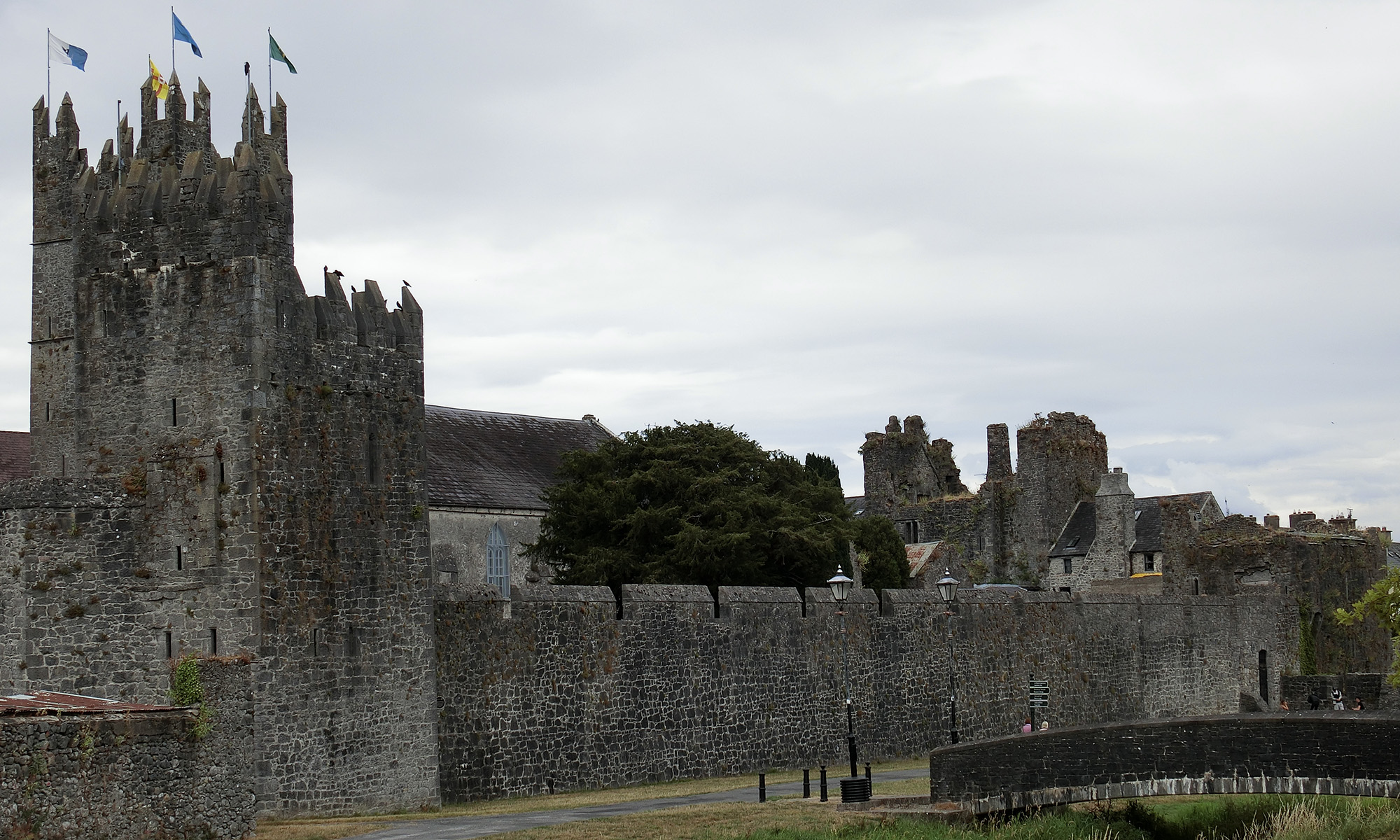
The Digital Atlas of Fethard is an app that visualises historic locations in Fethard from medieval times through to 1900.
The map content is based on Tadhg O’Keeffe’s Fethard, Irish Historic Towns Atlas no. 13, published by the Royal Irish Academy in 2003. It also includes artwork developed by students of the Patrician Presentation Secondary School.
The project consisted of four key phases:
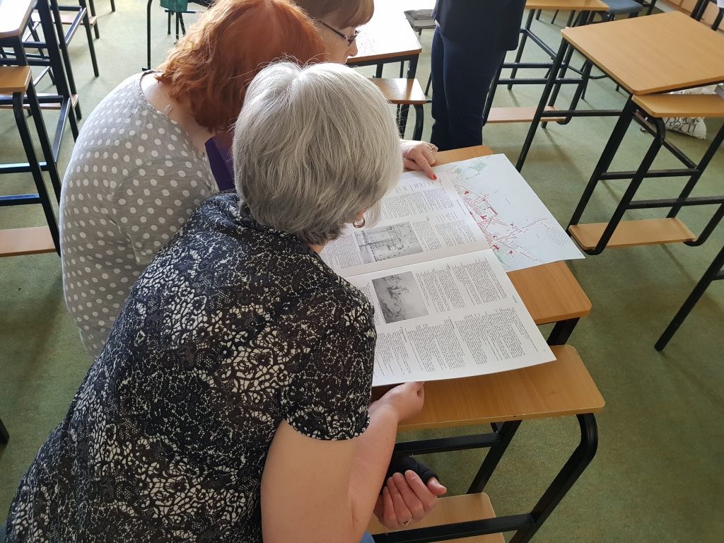
(i) a ‘transcribeathon‘ where volunteers from the local community came together to transcribe material from the printed edition of the Fethard atlas.
(ii) creation of drawings of Fethard’s buildings and their features by Transition Year students.
(iii) development of the digital map by project manager, Rachel Murphy.
(iv) a number of events to celebrate Heritage Week 2018, including a seminar: Exploring Fethard’s Past, a walking tour of Fethard, and the launch of the Digital Atlas of Fethard.